I have loved maps ever since the 3rd or 4th grade when I scored really high on a map reading skills section of (the Iowa tests?) a test that ranked us nationally as well as individually. We could have GPS in our new car, but we don’t. I am generally the navigator on our road trips. I used old fashioned foldy maps or a road atlas or both. Once I was in a car with GPS and it wanted us to take a turn into the Charles River. This was maybe 12 years ago, but I’ve never forgotten.
So when I saw this article in the New York Times Sunday Review, I knew I had found a kindred spirit in Steven Kurutz.
CALL me a fossil, but when I take a road trip I like to get around by using printed maps. I’ve been licensed to drive for 20 years, and every car I’ve owned has contained a Rand McNally Road Atlas, with the maps of the Northeastern states dog-eared and loosened from their staples. Navigating by map carries over to foreign roads, too. In May my wife and I went to France, where we drove around Provence and dipped a wheel into Italy.
Before we left, I amassed the blanket topographical coverage I imagine the Allied generals had when they stormed the Continent. Collecting the maps was an interminable process. Bookstores have scaled back their selection in recent years. Or stopped selling maps altogether. Apparently, a good number of people think printed maps are pointless nowadays.
I guess you can still go to AAA and get triptiks and maps, but map stores are closing. I used to go to the Globe Bookstore for maps and guidebooks. Now Brookline Booksmith has a small Globe Bookstore travel section. And you can order maps from places like Barnes and Noble. But it is harder to just wander into a store and open up a map and wonder what it would be like driving on a particular road.
As part of packing for our move, we have kept a lot of maps of places we have been. I opened some of them and could remember when we drove to a certain place. As Kurutz says
Consider this, though: Using printed maps requires travelers to work together. You become a team. Driver and navigator. Your ability to get along and solve problems is tested in valuable, revealing ways. GPS removes that entire interpersonal dynamic. It encourages a passive form of journeying: sit back and drift, because the vaguely Australian-sounding computer lady will tell you to turn left in a quarter mile.
Driving by map, on the other hand, engages you actively with your surroundings. It makes you observe road signs, be in the moment. And that closer engagement, I’ve found, imprints the landscape more vividly and permanently on your mind. When I return home, I can unfold my maps and take myself back to a town or a stretch of highway.
Often I’ll buy a map months before the trip, and by studying it try to pull the opposite trick — to transport myself into the place I intend to visit. It builds anticipation. Eric Riback, a map publisher in upstate New York who writes a blog called Mapville, described this to me poetically as the “seeking, dreaming part of travel that you can do with a map.”
That is the joy of a map: you can dream before and you can remember after. You can’t really do that with a GPS.
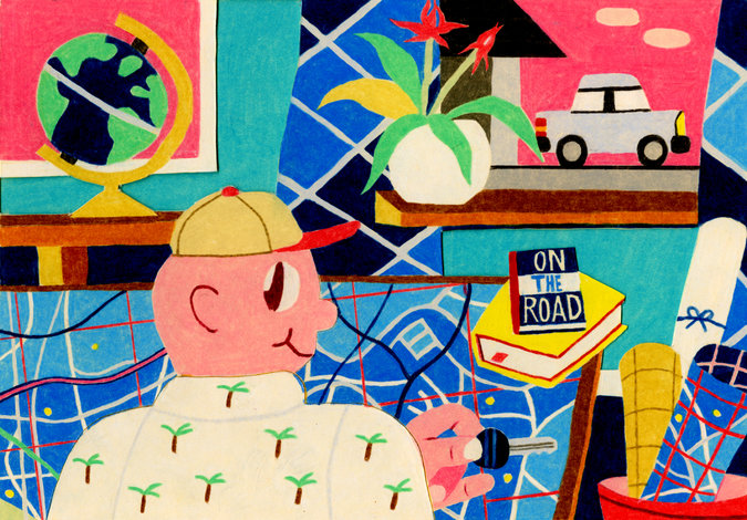
Illustration: Andrew Ho for the New York Times

I sometimes use a map app on my phone without using the GPS navigation function. While I don’t mind printed maps, you just can’t zoom in and zoom out in the printed map.
When we are going to a specific location in a strange place, I will print our the google maps with all the turns and pictures of the intersections. Being a luddite, I don’t have a fancy phone.